Ammer track
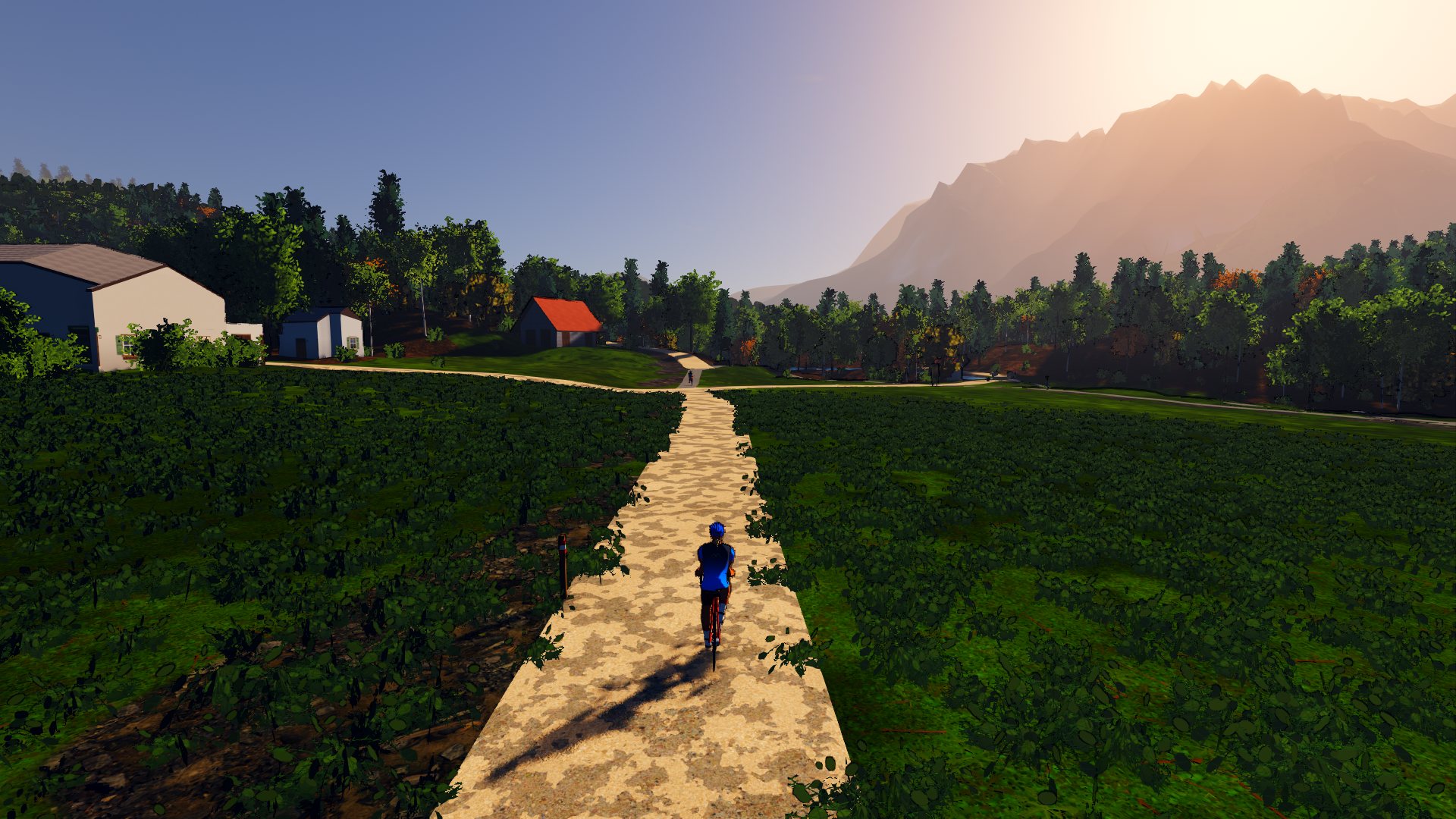
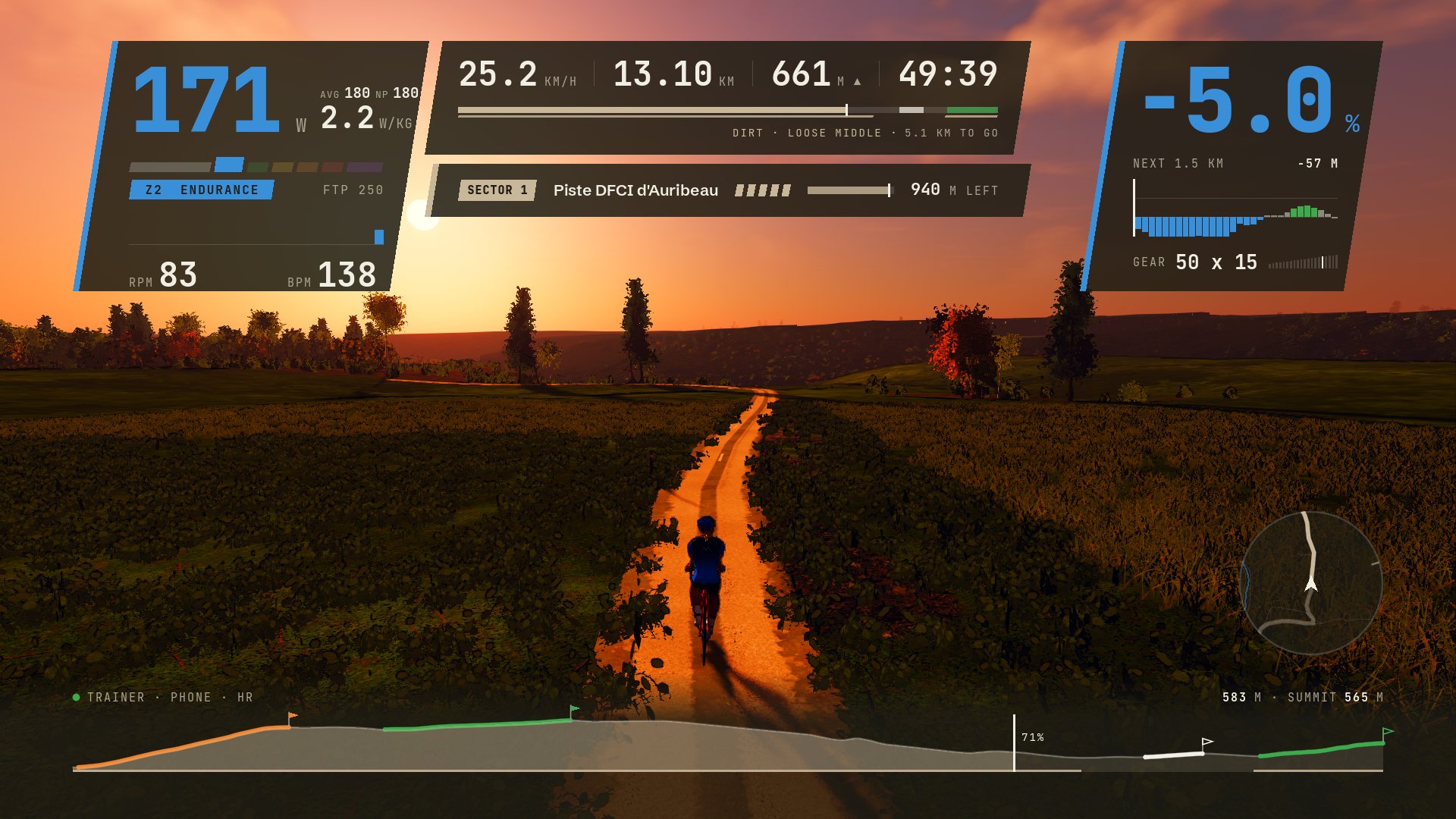
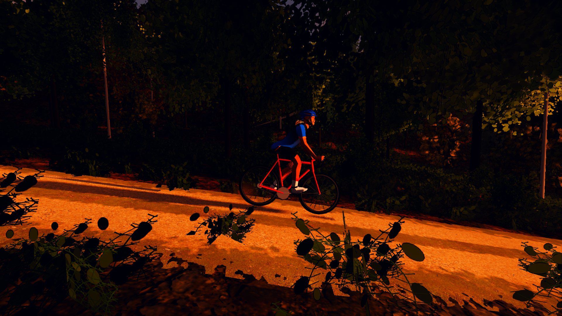
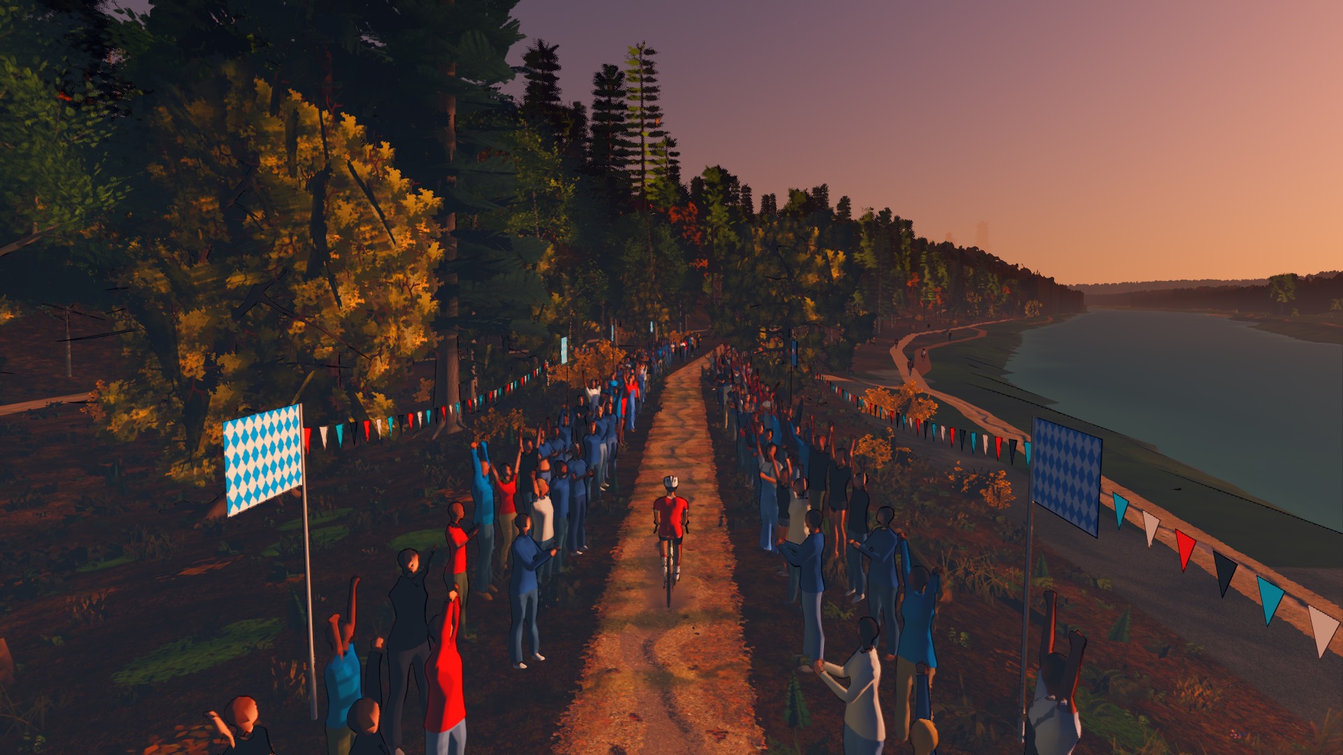
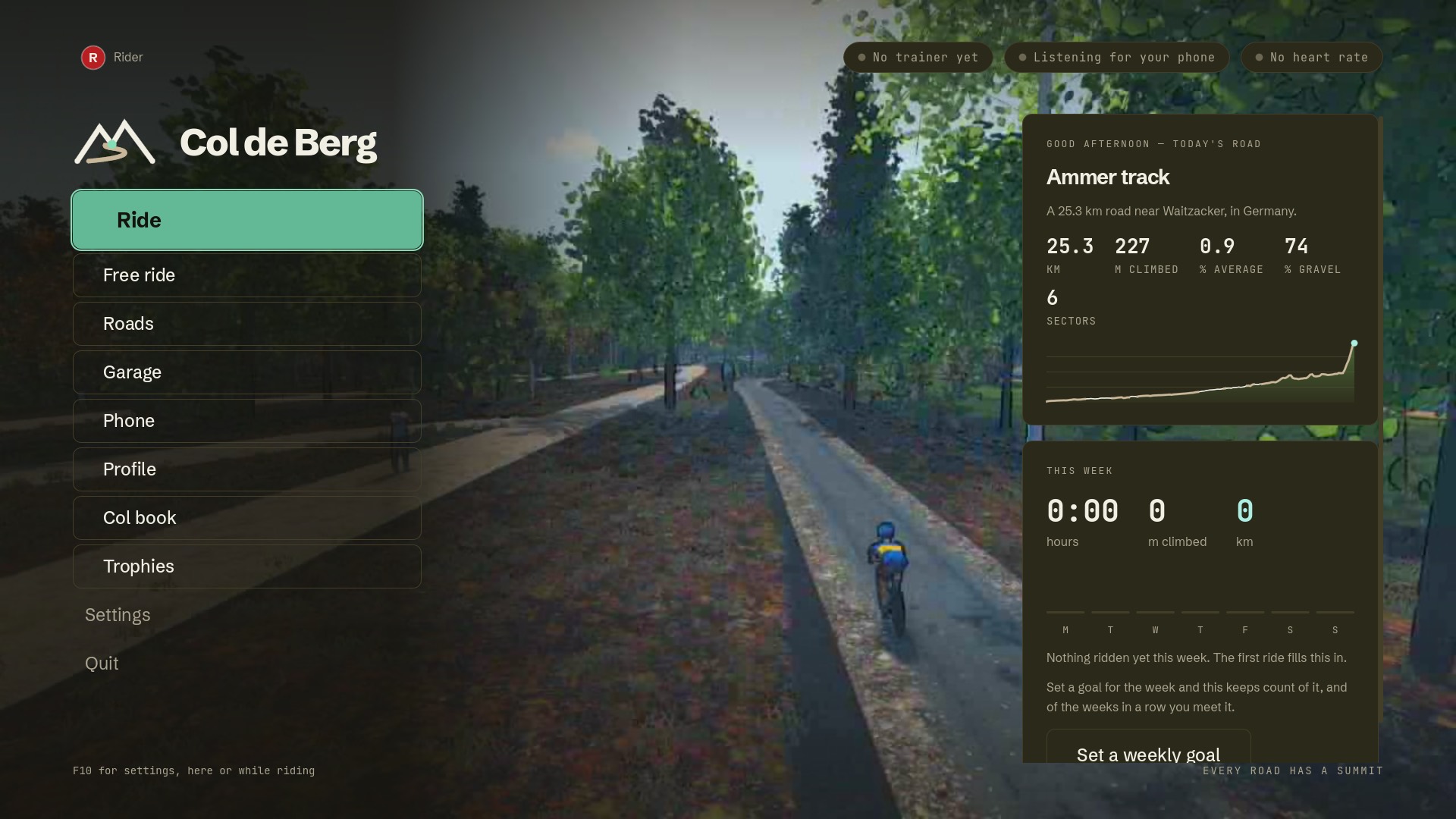
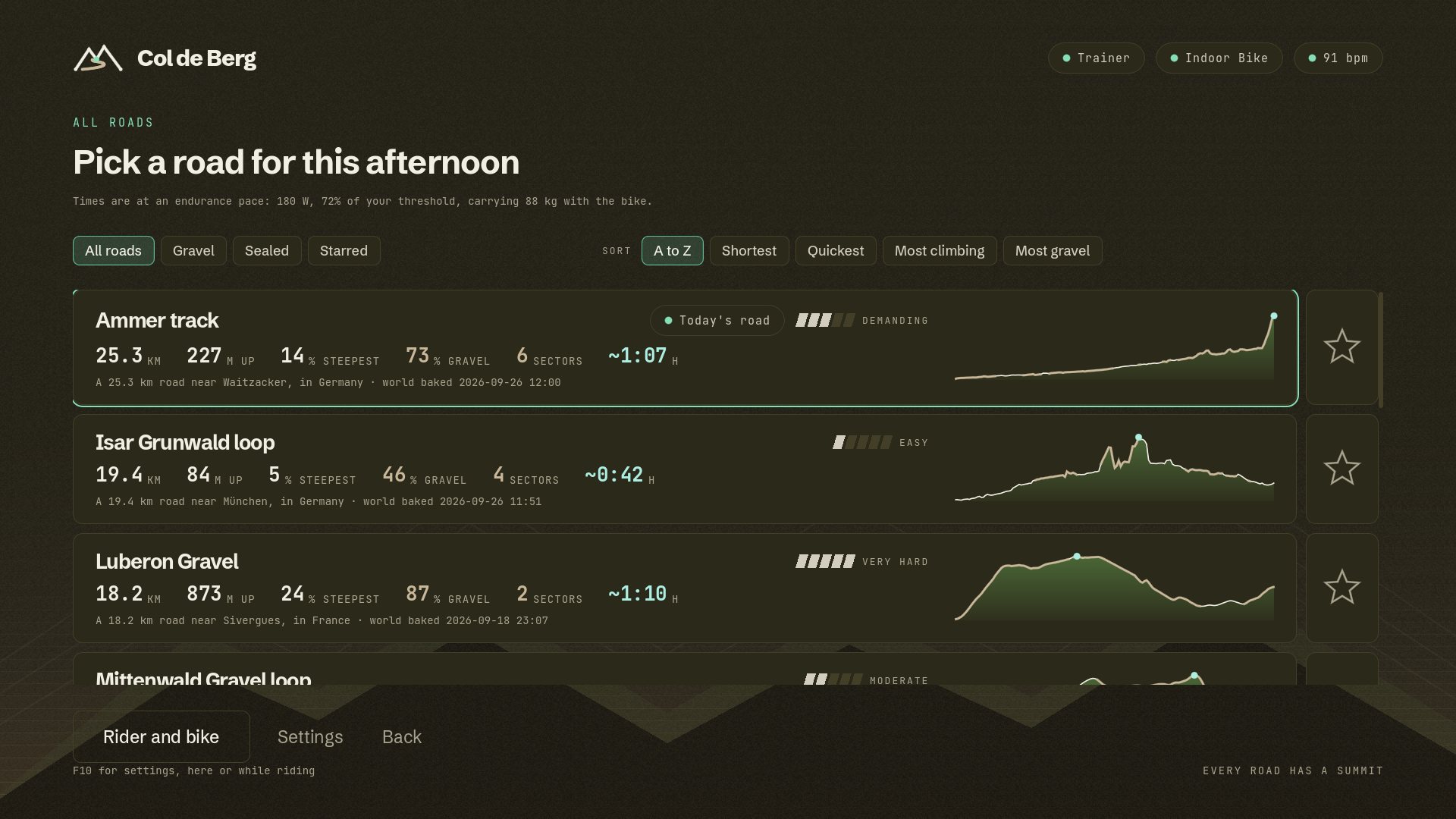
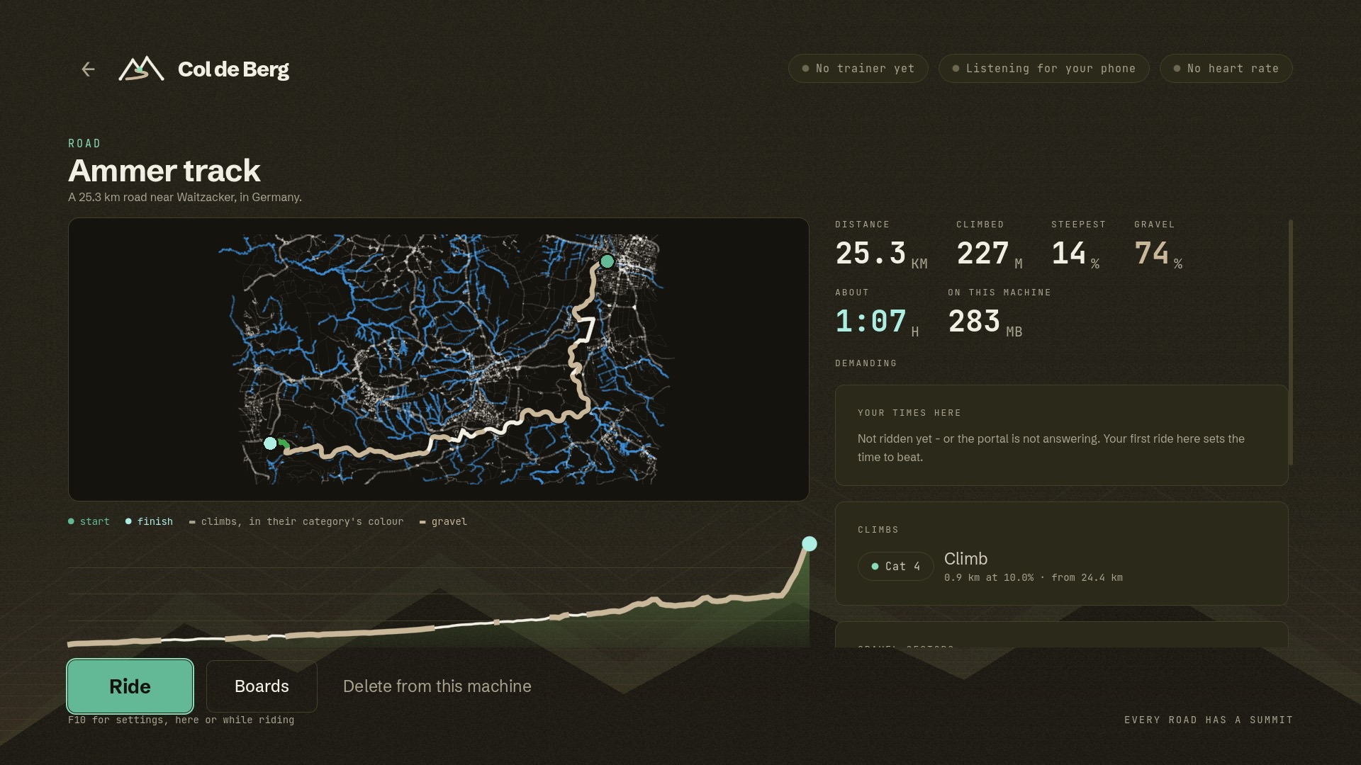
Along the Ammer on tracks and forest roads, six sectors, and the five-star Schnalzstraße to finish: seven and a half kilometres of gravel up to the plateau.
- 25.3km
- distance
- 227m
- climbing
- 74%
- unsealed
- 14%
- steepest
- ~1:07h
- at 180 W
Real tracks, trails and climbs, drawn from the map and the land survey. Your trainer feels the gradient and the ground under your tyres; every unsealed sector is timed and rated, and there is a crowd at the top. Leave the course behind and ride anywhere in Munich, or run a trail race's course on the bike.
Most indoor riding is a smooth road with a number on it. Col de Berg reads the surface of every metre off the map, and hands it to your trainer with the gradient.
Compacted, gravel, dirt and grass each roll differently; wider tyres roll them better, and a gauge at your back wheel says how much harder than tarmac the ground is rolling. Every run of unsealed road is a sector with a name, a surface, a one-to-five star roughness rating and a time. You choose your line across it, the wheel track, the loose middle or the grass edge, and on a loose descent you ease off before the bend rather than in it.
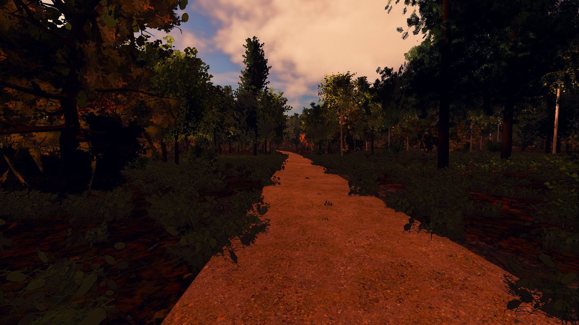
Where the map draws a woodland path, it is singletrack: a worn line with roots, stones and leaf litter, cut into the hillside, ridden at a trail's speed on a mountain bike with the saddle dropped. The dust hangs behind you, the mud stays on you, and through a ford the wheels wade.
Where the map calls a road a track, it is one, and where it says asphalt, it is asphalt. The Isar loop is half sealed. The Isartrails are not.
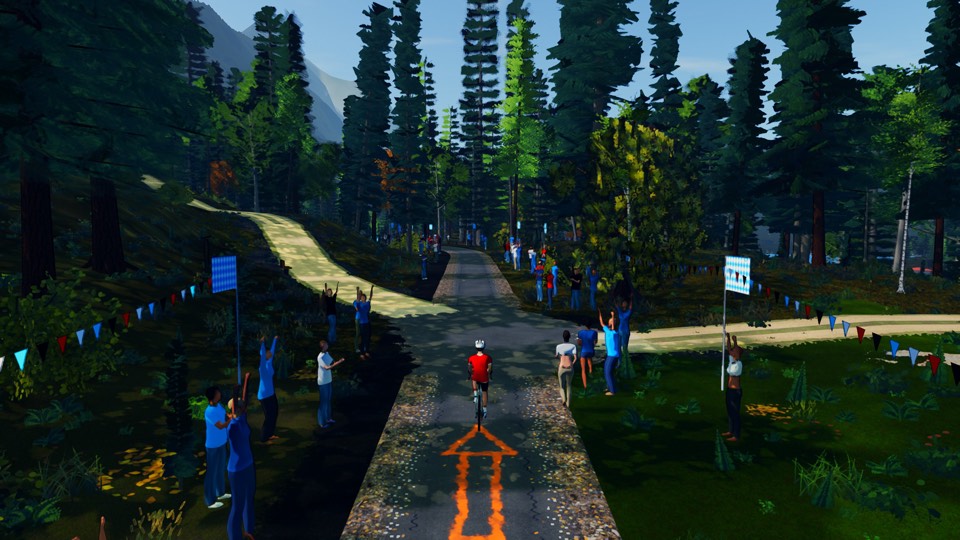
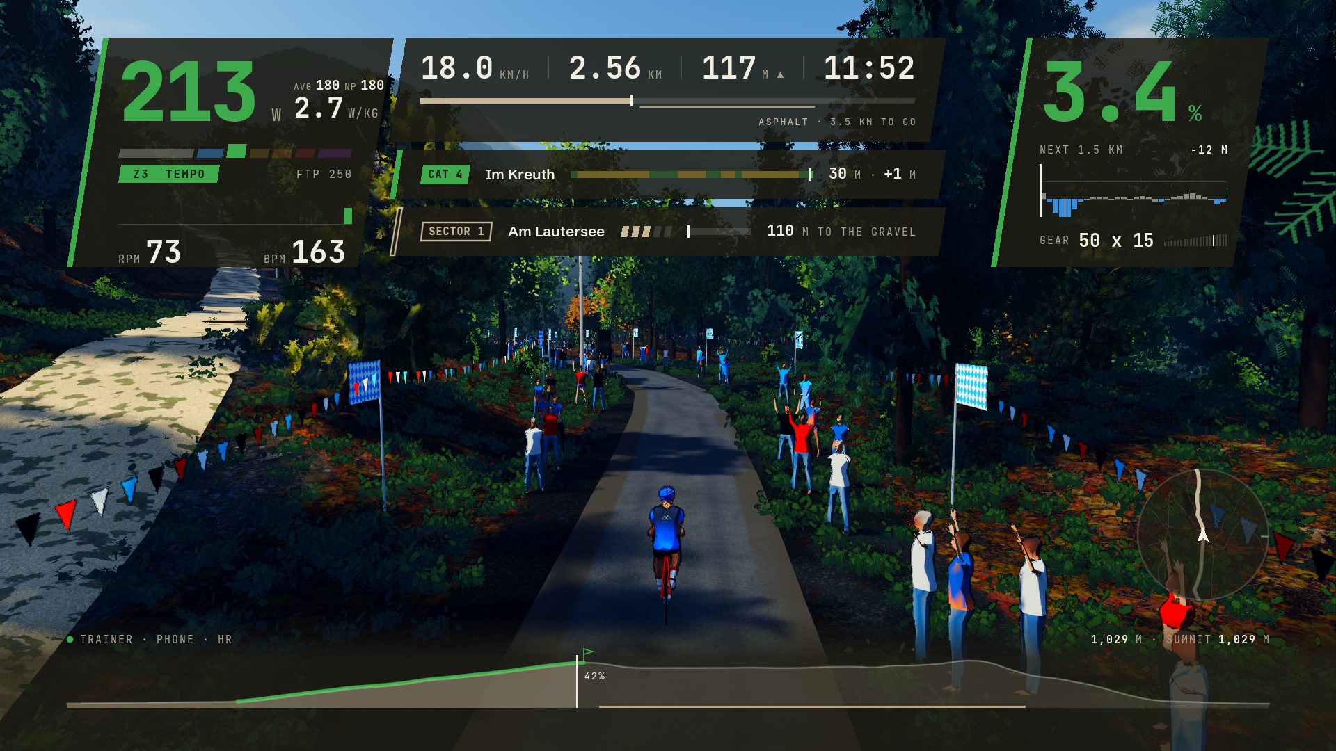
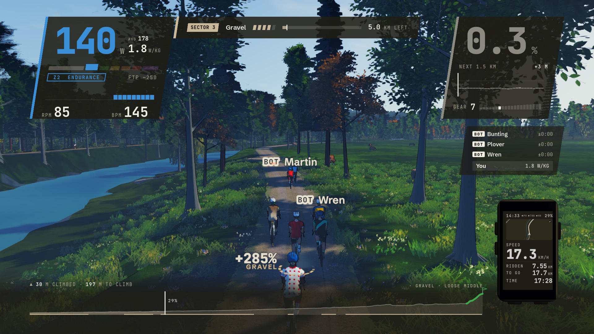
The Ammer track's last sector: five stars of gravel, seven and a half kilometres of it, and 4.2 still to go. Under the wheel, how hard the gravel rolls against you: 325 per cent more than tarmac would. The card counts it down, the computer on the bars keeps the rest, and this is the shape of the whole game.
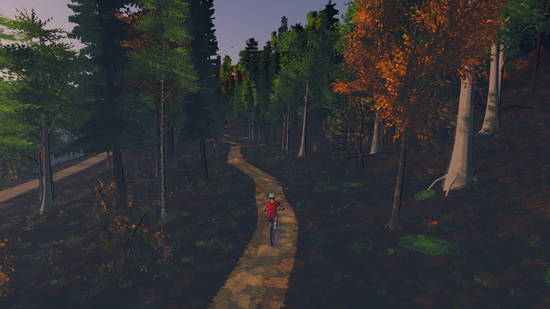
The trails on the Isar's high banks, ridden on a mountain bike: a worn line through the leaf litter, benched into the slope, five stars of it.
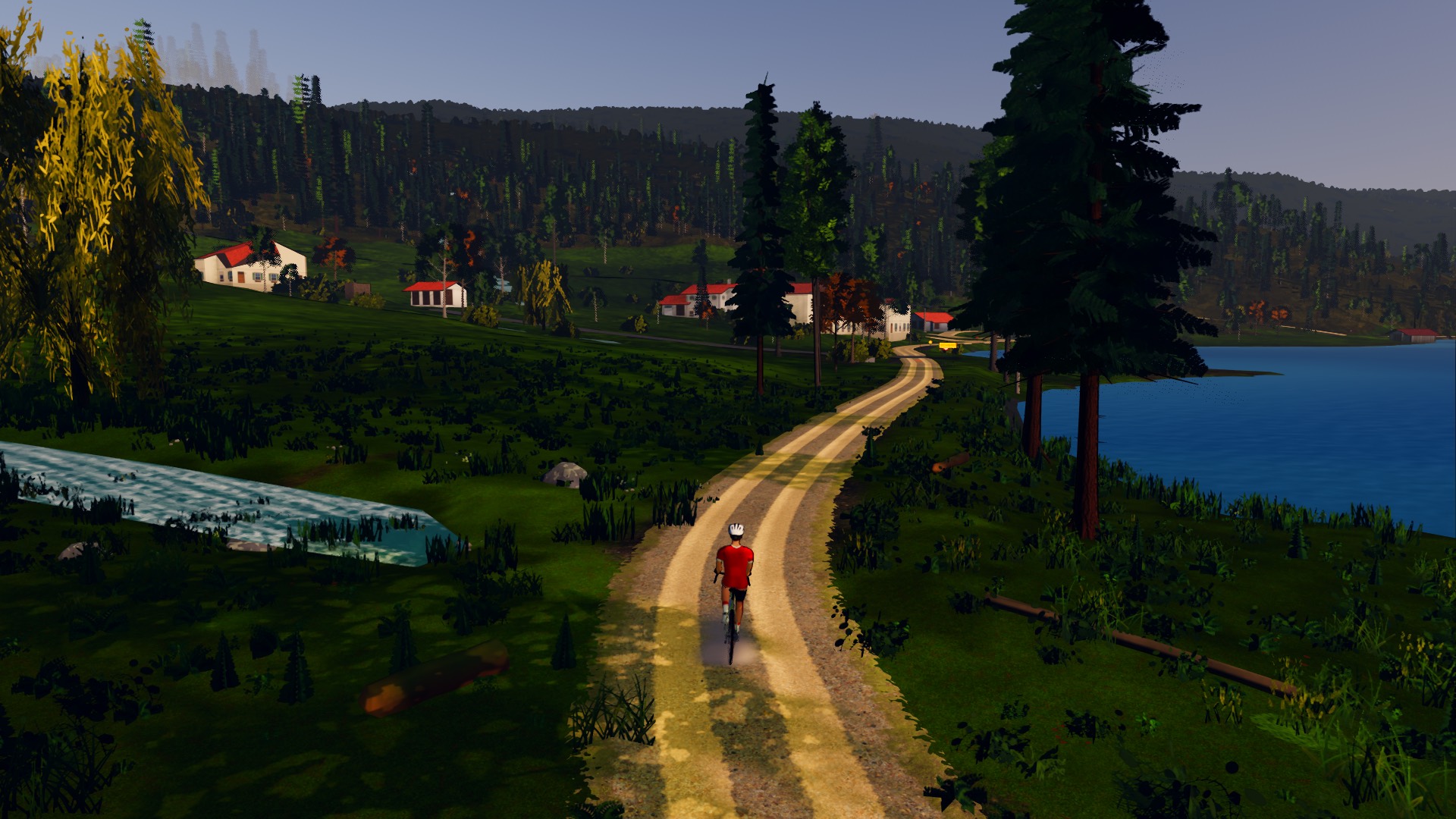
Mittenwald's gravel sector round the lake, first thing. Wheel tracks, a grass middle and the farm at the end, where the map has them.
Chase, cockpit, side, trackside and overhead, none of which rolls with the bike. Put the HUD away, or step into photo mode.
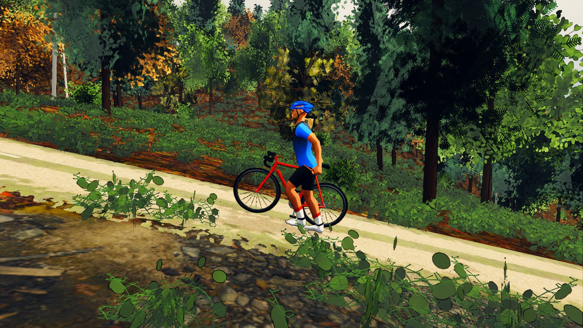
On any climb that gets too steep, walk. Walked metres never count as ridden, and how far you got before you stepped off still goes on the board as your go at it.
The ridgeline above is not decoration. It is five of the courses further down this page, drawn on one height scale: the Vertical in front, the Isar at the back.
In Bavaria and Austria the ground comes from the states' own one-metre lidar surveys. The global terrain tiles they replace overstated the climbing by a third or more on every Bavarian road we measured, so the number on your climb card is the number on the road. The mountains stand twelve kilometres out.
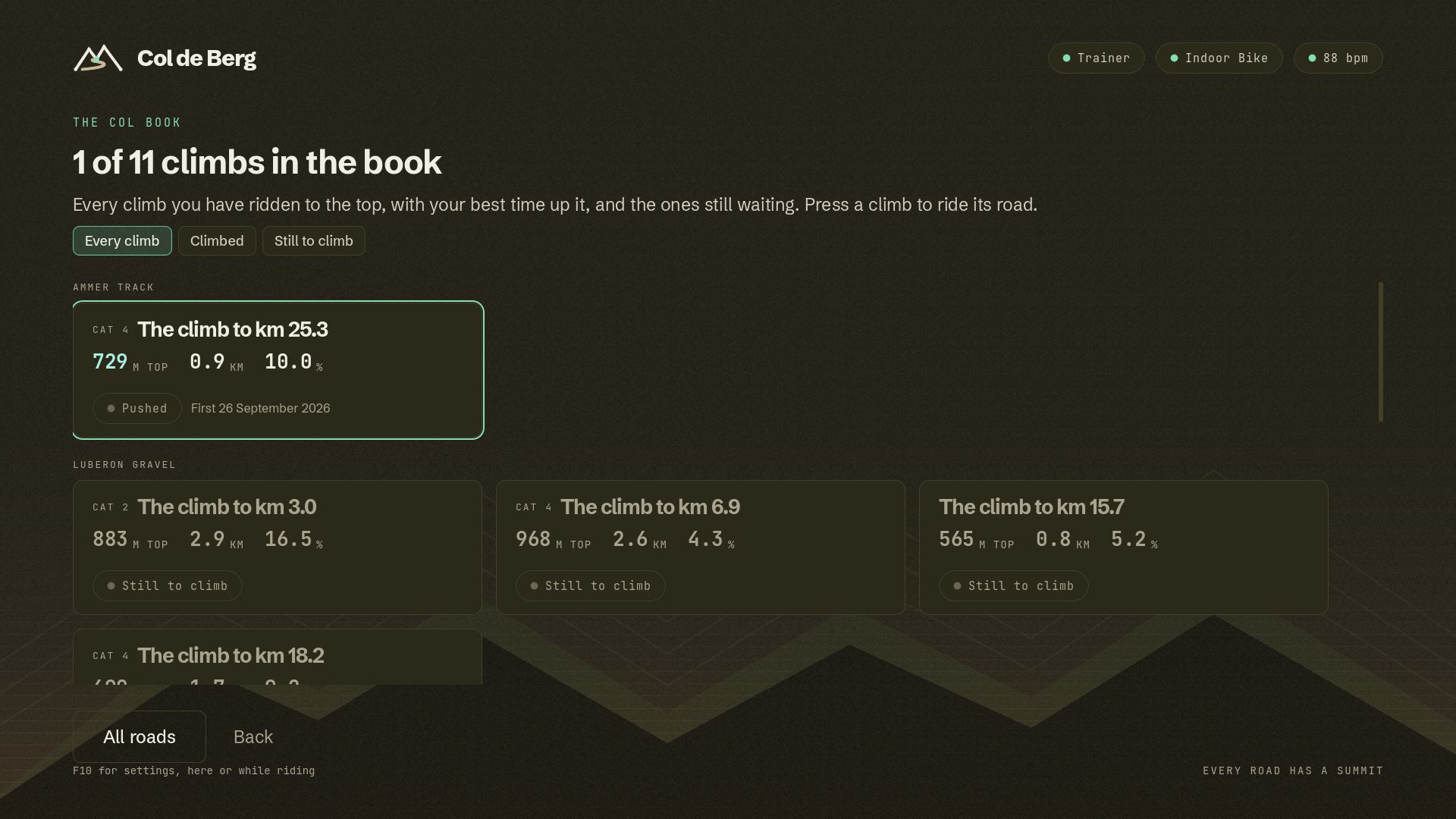
Climbs are categorised the way you know them, Cat 4 to HC. Every one you ride to the top goes in your col book: when you first got there, how often, and your best time up it.
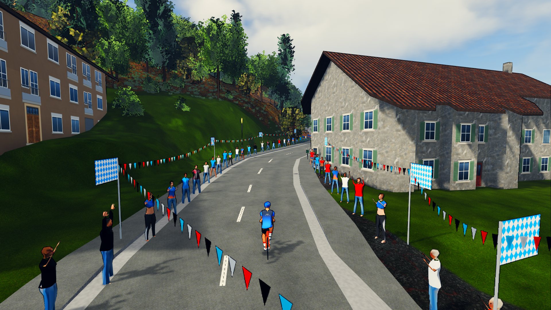
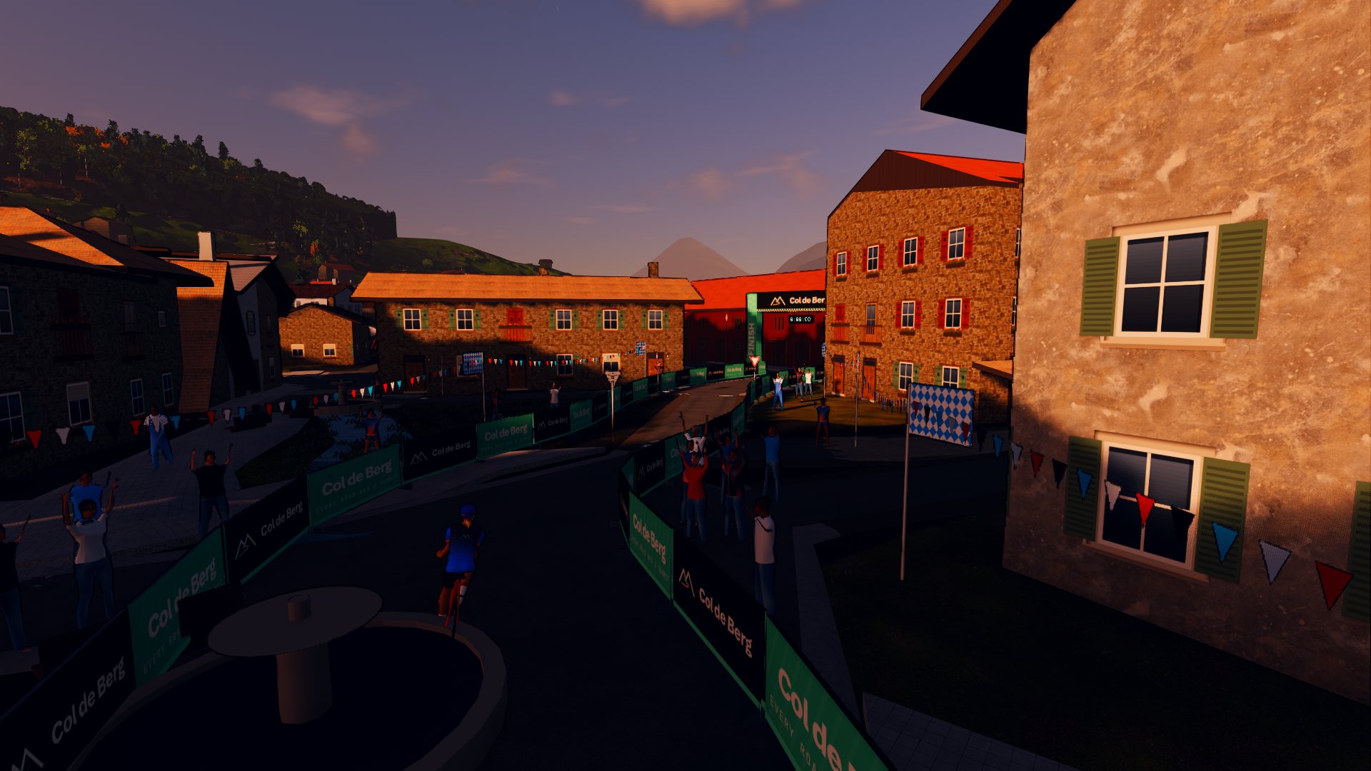
In Bavaria every building comes from the state's 3D model: its footprint, roof, eaves and ridge, and what it is for, so a barn is drawn as a barn. Then it is painted for its age and its region, with its dormers, shutters and window boxes, and lit rooms behind the glass at dusk. Fans line the villages, the sector mouths and the run-in to the finish.
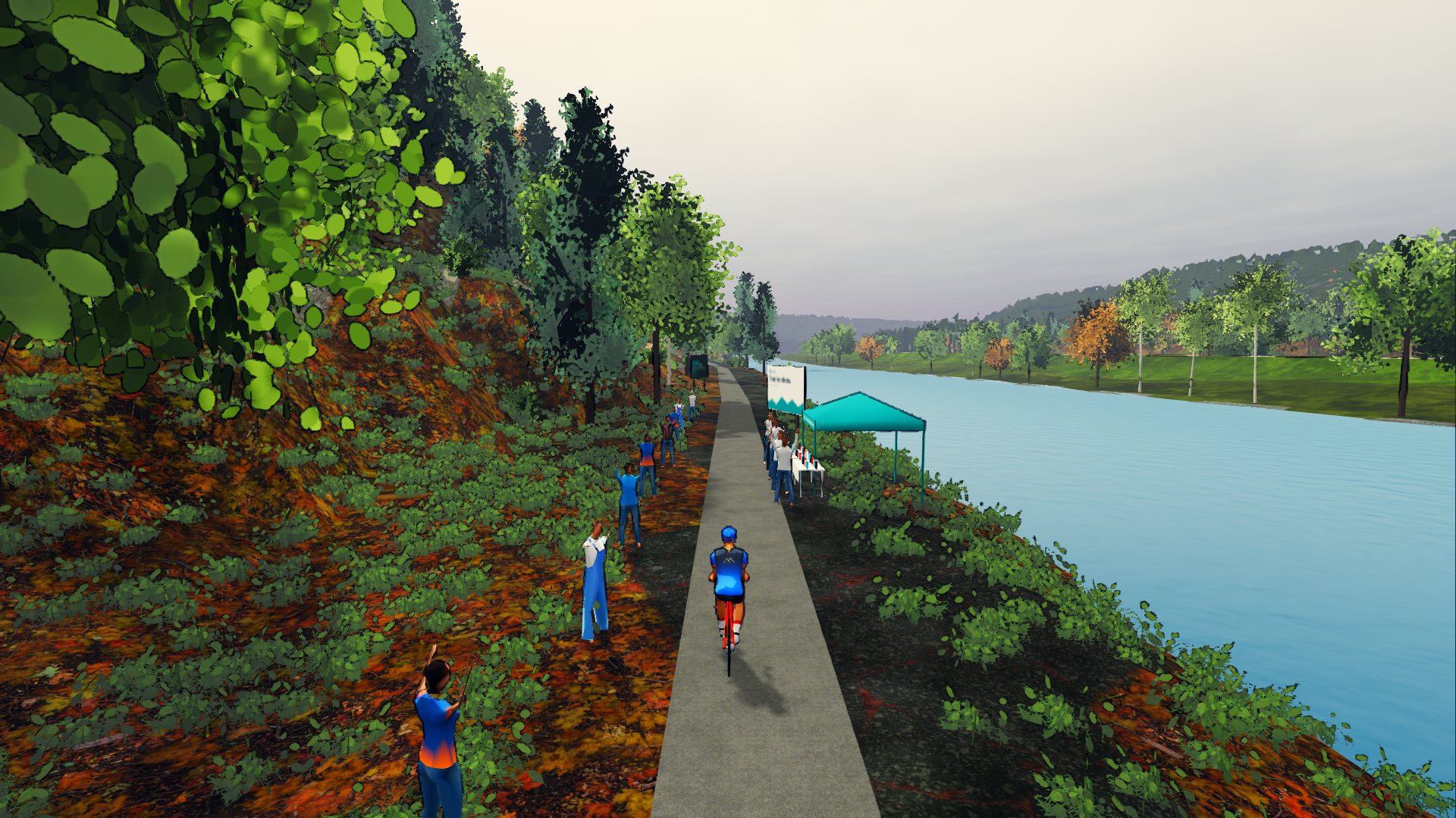
About every twelve kilometres: a tent, a table of bottles and a sign in the local language. A helper holds one out, and your rider steers over and takes it from their hand on the way through.
Up to eight riders to go with you, each stronger or weaker than you, each marked BOT and named after a bird. Sit on a wheel and a card under your watts says what it is saving you, up to forty per cent of the air, and fades away when the wheel is gone. Ride more than ten seconds on them and the ride stays off the boards and your bests.
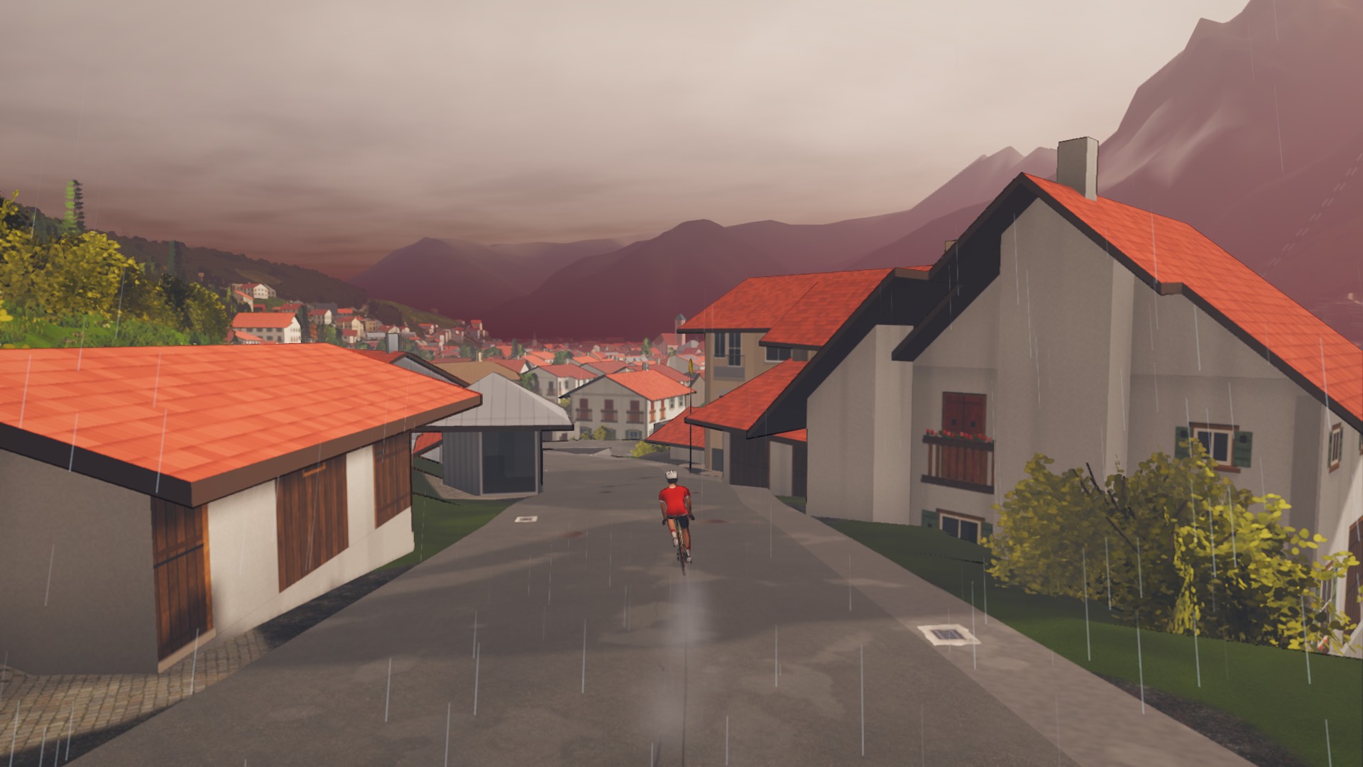
Clear, fair, broken, overcast or rain, and a day that moves: mist that lifts, showers that come and dry, cloud shadows running over the fields. In the rain the road shines and the wheels throw spray; on a dry track the dust hangs behind you.
Every road is the month its track was recorded in. The Isar in October is gold, with the litter on the path to match.
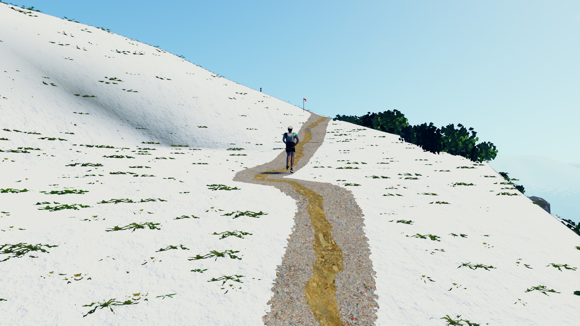
From December to March the snow lies above its line, higher in the shoulder months. The same Vertical, put in January.
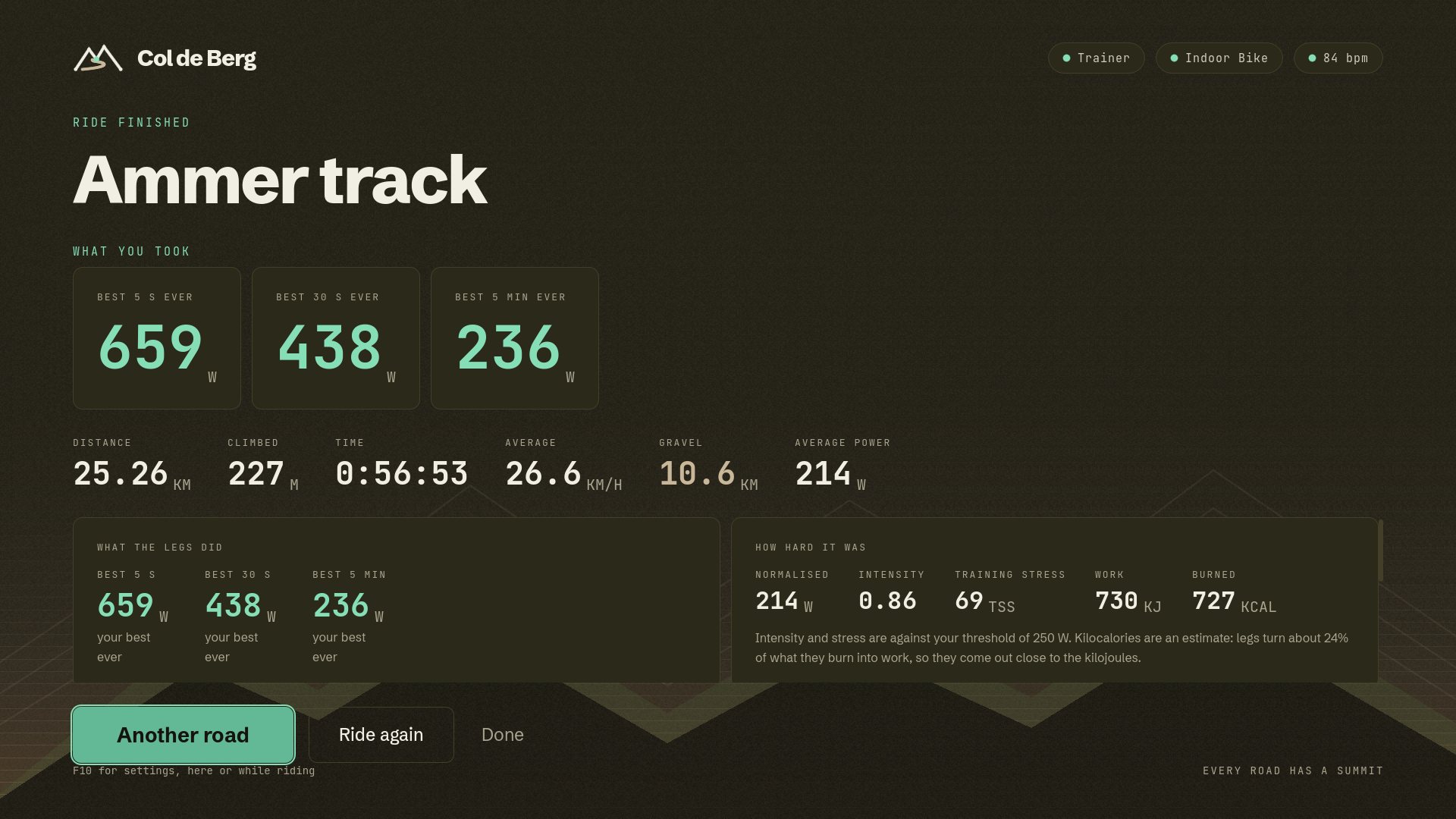
Barriers, the arch, the flamme rouge a kilometre out. Arms come up as you cross the line, the best moments of the ride play back, and then the summary.
Cows grazing and horses in the pastures, people in the gardens, others out on their bikes, swallows over the meadows, a buzzard overhead and, now and then, a deer at the edge of the wood. Whoever is by the road stops and claps you by.
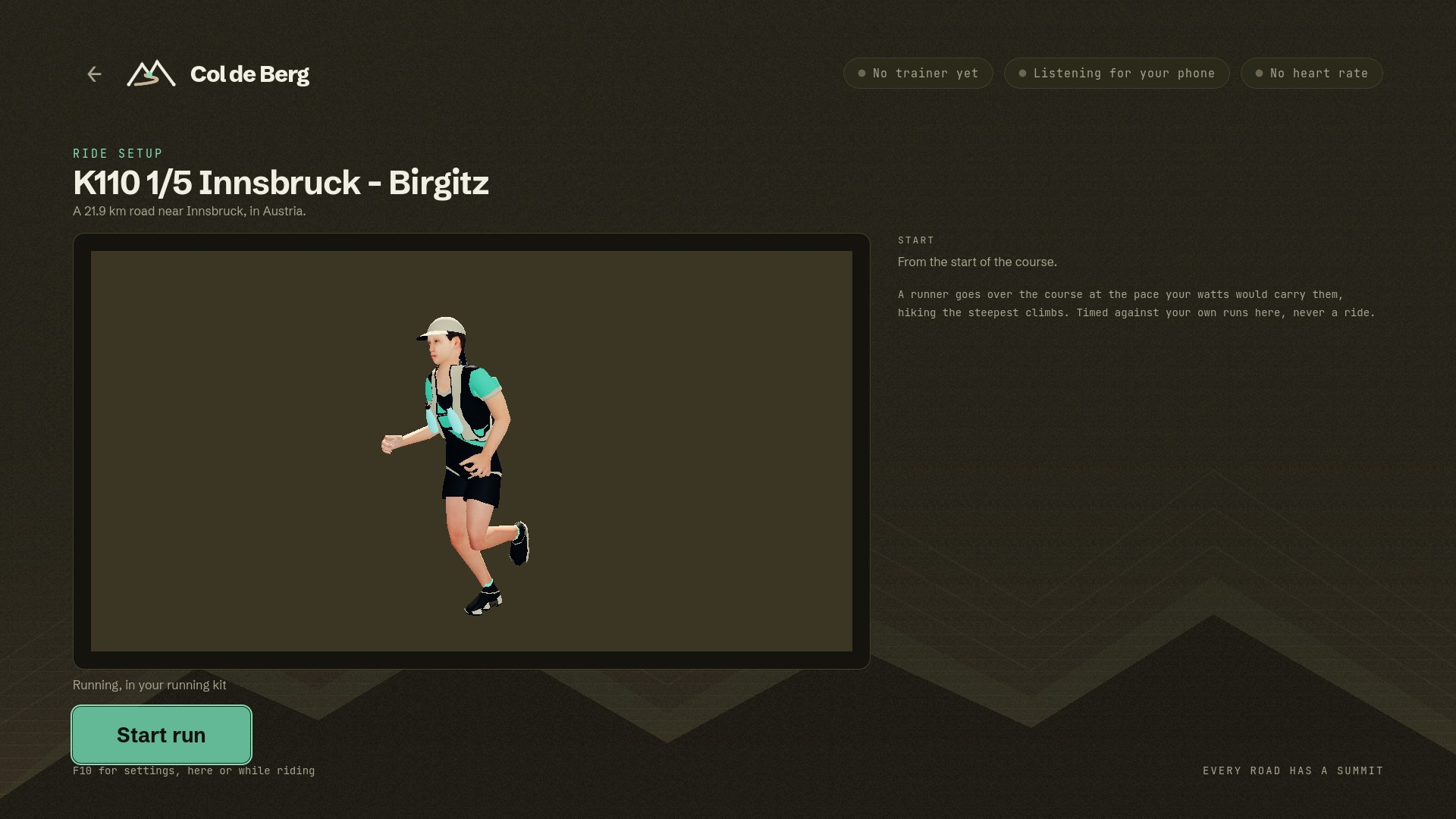
Training for a trail race? Pedal, and a runner goes over the race's own course at the pace your watts would carry them, hiking where it gets too steep to run.
Effort sets the pace through the measured cost of running up and down hill, and rough ground costs more. The trainer holds you in ERG, and the shifters move the target five watts a press. Your cadence is the stride, so 90 rpm is 180 steps a minute; on the steep stuff the poles come out. A run is kept as indoor cycling, never as running: it is cross-training and a way to learn the course, not running fitness.
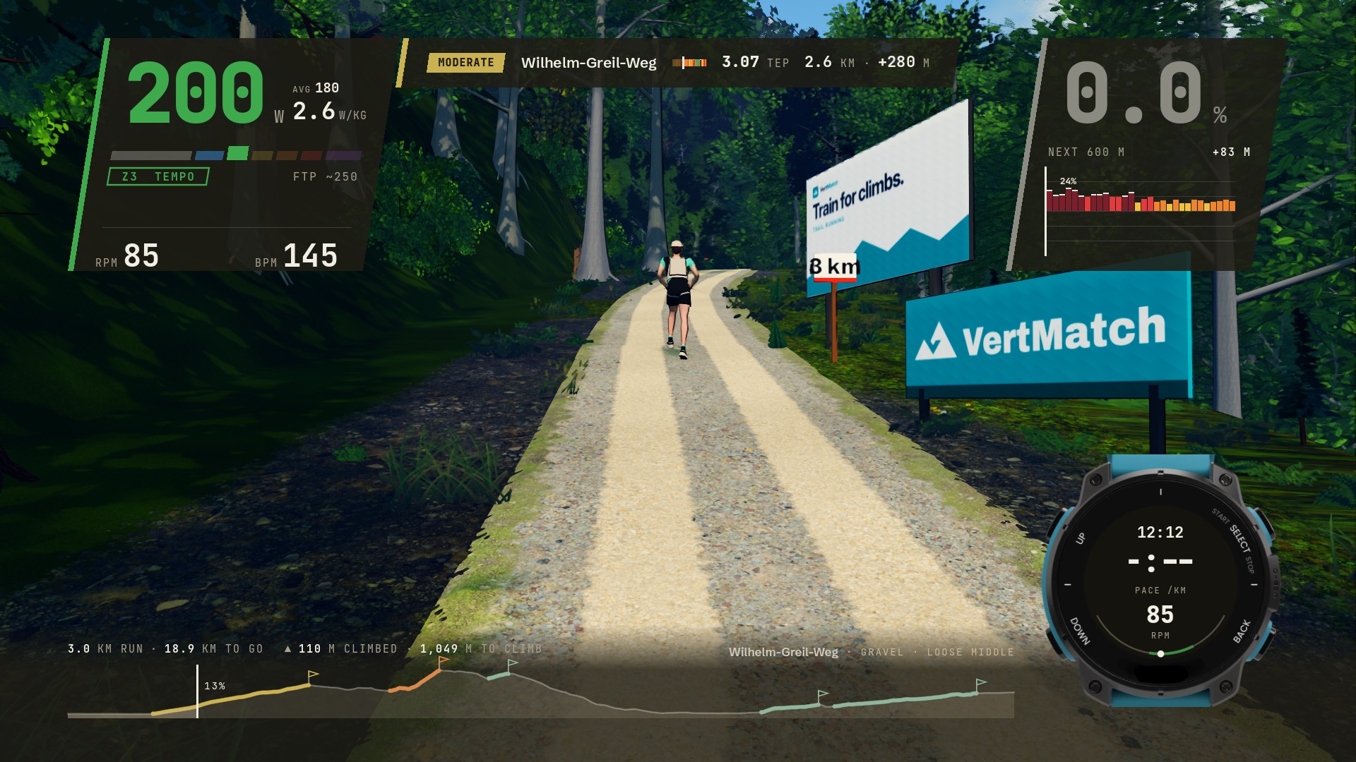
The climbs are VertMatch's. VertMatch measures the climbing in trail runs against a shared database of real climbs, and every run course here is scored by it. Where each climb starts and ends, how hard it is in TEP and its category are the ones runners know from VertMatch, not a cyclist's reading of the gradient, so the climbing you run is the climbing the race has. The run is timed on those climbs, the card on the screen speaks TEP, and the cairns, banners and milestones by the trail stand on them.
The first courses are the Innsbruck Alpine Trailrun Festival's K110, in five stages, and its Vertical. Any road can be run as well as ridden.
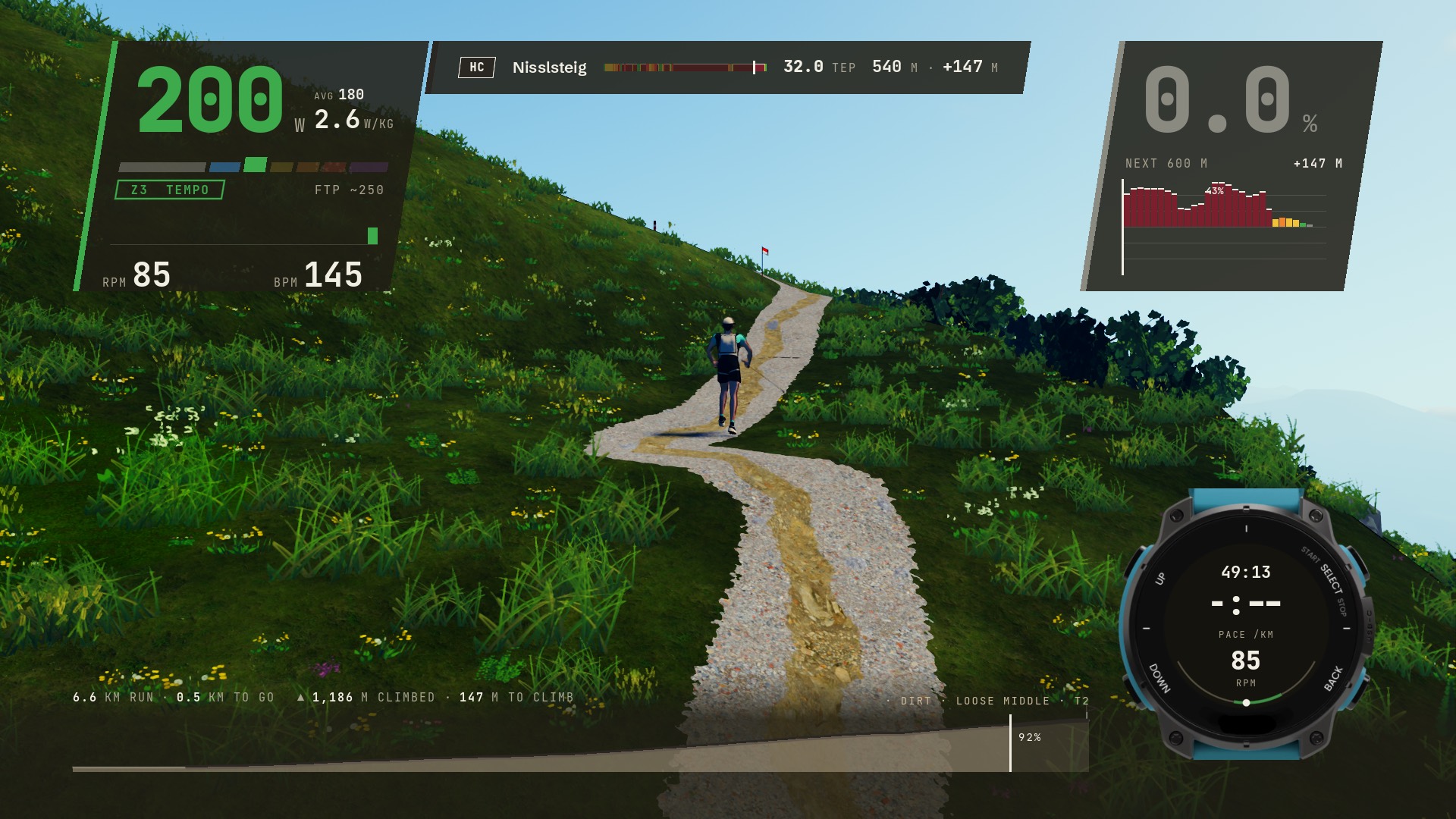
The Vertical's one climb is HC and 32 TEP, and it is the whole course. Half a kilometre from the top, 1,186 metres climbed, 147 to go. The watch shows what a runner's would; the cadence on it is yours.
On a run the climb card speaks VertMatch: TEP and its rating, not a cyclist's category.
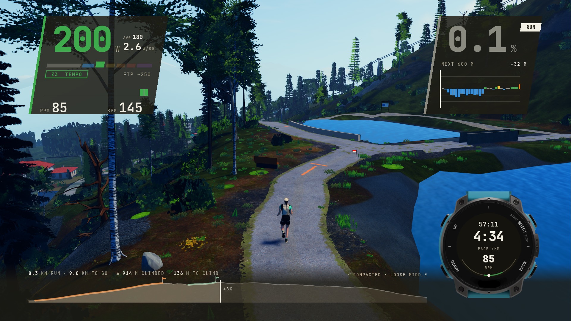
Stage two, eight kilometres in and 914 metres up, at 4:34 a kilometre on the way down to the lake.
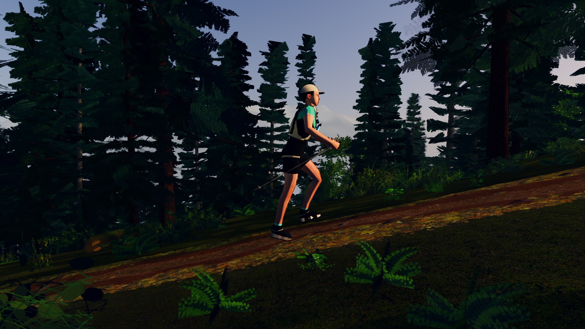
Moved by motion capture: a jog on the flat, a run, a power hike with hands on the knees or poles planted beside the foot, and a woman's form and a man's.
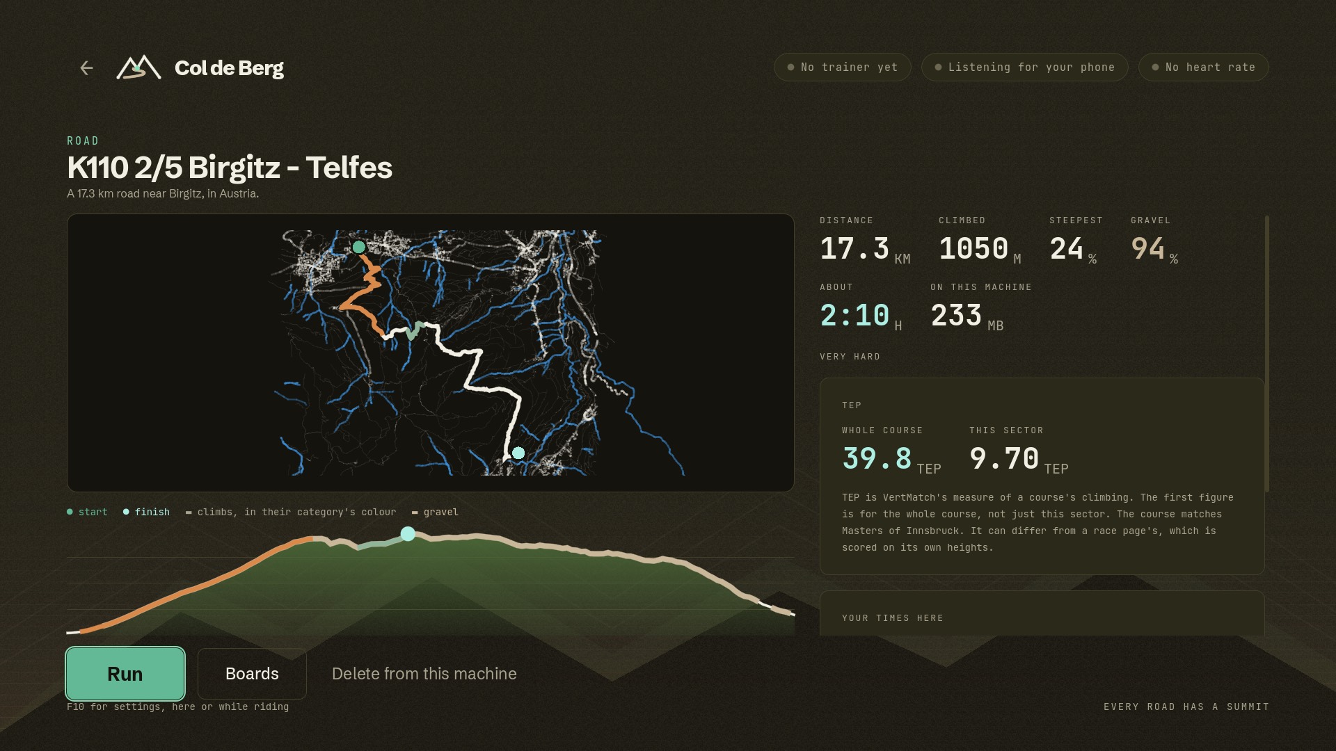
The whole K110 is 39.8 TEP and this stage is 9.7 of it, with the time the runner would take at your endurance watts.
Not every ride needs a course. Start from a square, a church or a beer garden in the middle of Munich and go where you like.
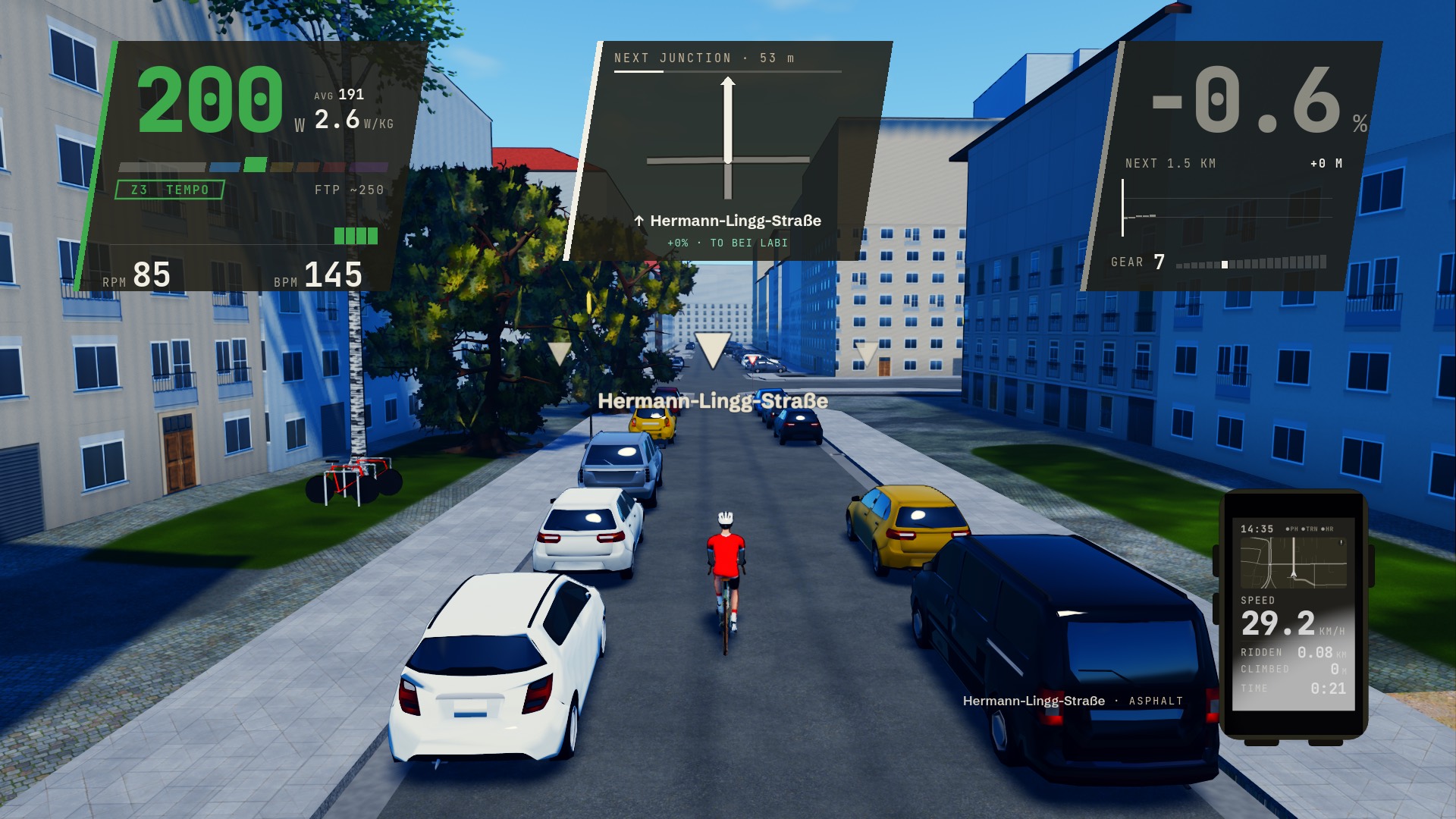
At every junction you choose the way, in the game or on your phone, or leave it alone and the ride keeps to the street you are on and away from where you have just been. Search for a place on the phone and you are taken there. Only turns a bicycle may make are offered: the one-ways, the contraflow lanes and the streets closed to bikes are the city's own.
The city is built from the survey as the courses are: kerbs and pavements, parked cars along the streets, trams on their own track, bridges and underpasses, and people out in the parks. Nothing is timed. A free ride is kept as a workout and goes to Strava like any other. Central Munich is the first area; more open one at a time.
The next junction is 54 metres ahead, drawn over the street and pinned to it, and the way you will take if you choose nothing in bold. Step through the ways out on the phone, a pad's shoulder buttons or Q and E. The street's name is on the road, the cars are at the kerbs and the bikes are at the stands.
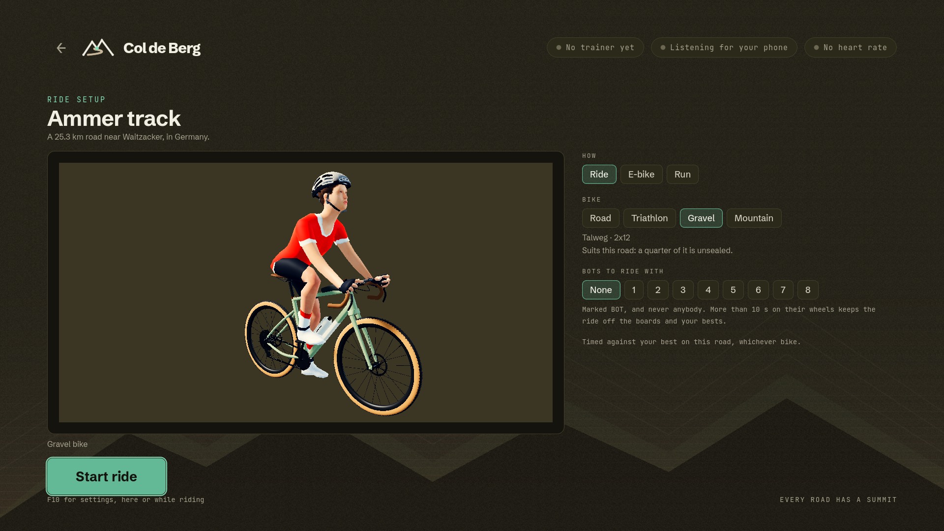
A road bike, a triathlon bike, a gravel bike and a mountain bike, each with its own frame, paint, kit and gears. Every ride starts by choosing one, and the one that suits the road comes first.
Nineteen frames to choose from, all our own designs: nine for gravel, from a race bike to a steel tourer with mudguards, four mountain bikes, three road and three triathlon. Paint them, pick a kit and one of ten helmets, and choose whose face you ride with. Each bike rides like what it is: a mountain bike's fork sags and chatters, its hub buzzes, and on a trail its rider stands with elbows out.
And when a climb is more than the legs have today, ride it on the e-bike, ten to seventy per cent easier.
No baking on your machine and no waiting. Six from the catalogue, four to ride and two to run, with the figures the game shows before you go; town loops, the rest of the K110 and the courses inside free-ride areas are there too. Times are at 180 W: carrying 87 kg with the bike, or a runner of 78 kg.
Along the Ammer on tracks and forest roads, six sectors, and the five-star Schnalzstraße to finish: seven and a half kilometres of gravel up to the plateau.
The trails on the Isar's high banks south of Munich: roots and stones, nine kilometres of five-star dirt, best ridden on a mountain bike.
Out of Mittenwald under the Karwendel: Im Kreuth, then gravel round the Lautersee.
South of Munich on the Isar's banks: four sectors of compacted and gravel path, and hardly a hill.
The second of the Innsbruck Alpine Trailrun Festival's K110 in five stages: a thousand metres up from Birgitz past the Mutterer Alm, and down to Telfes.
The same festival's Vertical: up the Nisslsteig from the edge of Innsbruck, 1,330 metres in seven kilometres, and one HC climb from the first kilometre to the top.
Profiles drawn to one height scale, so the Vertical is the mountain it is. Plans north up. Map data © OpenStreetMap contributors.
Col de Berg leans on indoorbike.app, the free and open source app that already runs your trainer: pairing, resistance, safety limits, the session, and export to Strava and Intervals.icu. The two talk over your home network, and nothing about your ride leaves the house unless you export it.
Your phone runs indoorbike.app and connects to your smart trainer and heart rate strap. Col de Berg finds it on the network and pairs in one tap.
Every road shows its distance, climbing, gravel and steepest ramp, is rated from easy to very hard, and says roughly how long it will take you at your own endurance pace. Choose the bike for it, or run it, and company if you want some. Or pick an area and go where you please.
The trainer takes the gradient and the surface. Sectors and climbs are timed as you go, every summit goes in your col book, and the ride leaves for Strava or Intervals.icu when you finish.


Leave your email and we'll write once, when the beta is ready to download. Free during the beta.
Your smart trainer, your phone, nothing in between. The free, open source app Col de Berg rides on.
indoorbike.app VertMatchMeasures the climbing in your trail runs: every climb scored, a shared database of 69,000 real climbs, and where you stand before a race.
vertmatch.run Open TerrainThe home of these apps, and of the open map, elevation and survey data they are built on.
openterrain.euCol de Berg is made by Snapp Technology, a European product studio. We build our own products and take client projects.